
Pike O’ Stickle | Central Fells | 709m | OS Maps Link
Collection of Images of Pike O’ Stickle in the Central Fells of the Lake District. Most images here do not make my main life and landscape galleries, but they give the viewer a strong sense of the fell, its terrain, and its character. Cameras used: Nikon Z6 | Fujifilm X-T3 | Olympus OM-D E-M5 III | Fujifilm XF10.
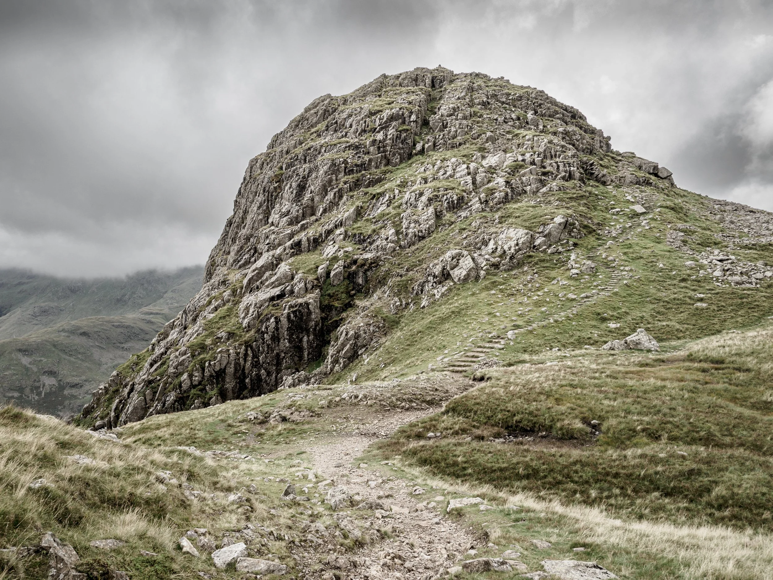
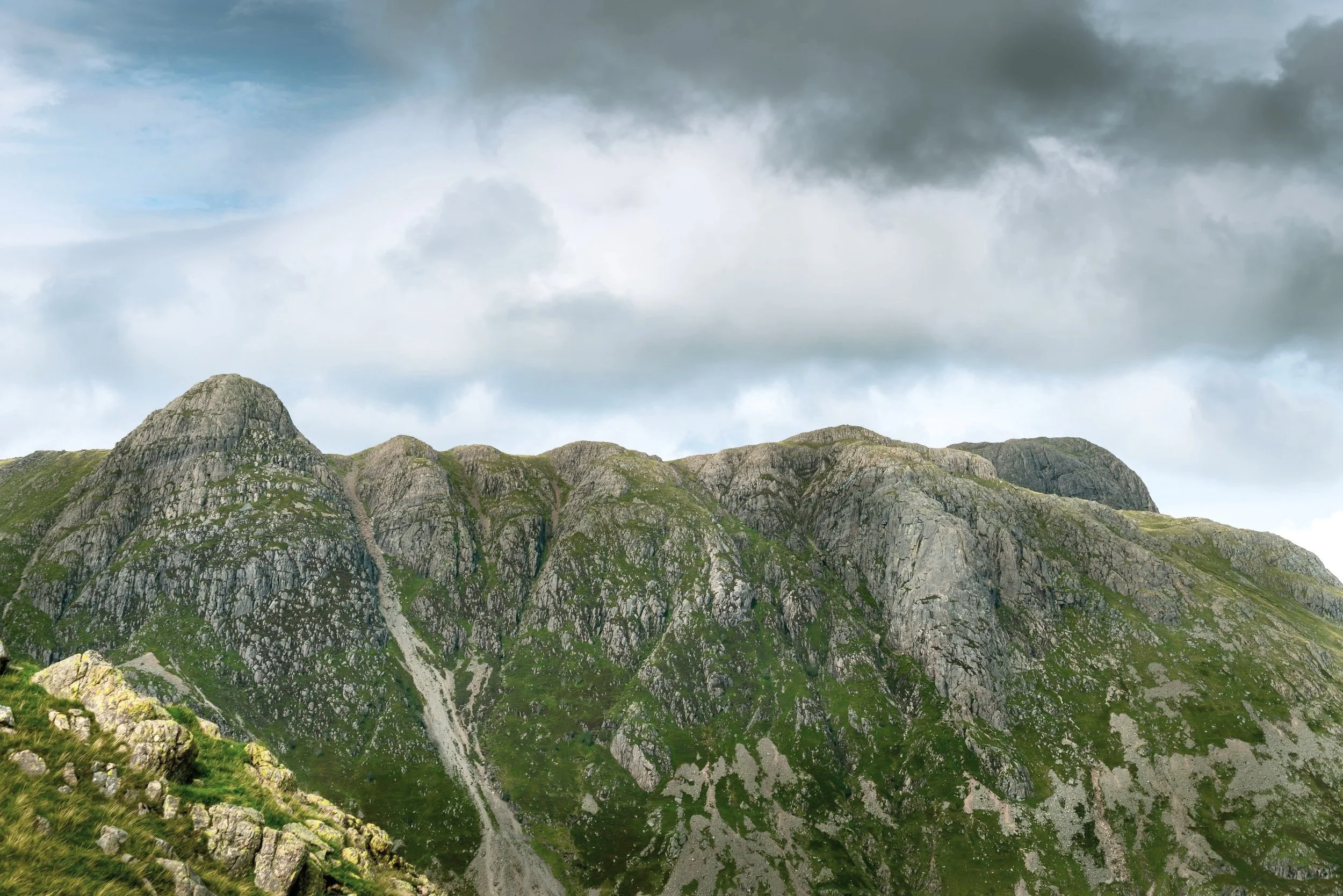
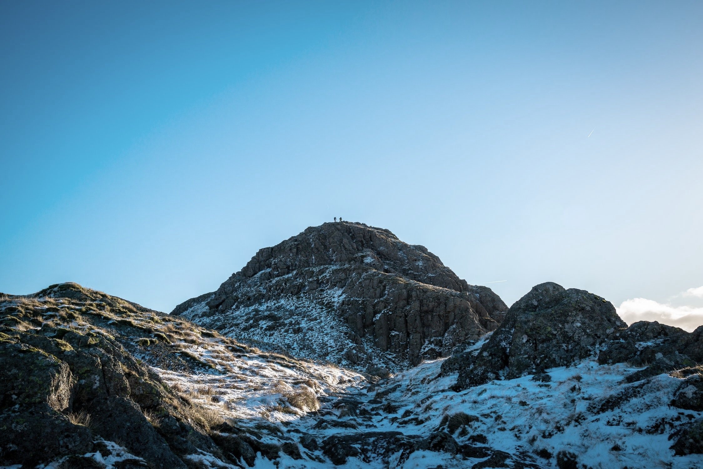
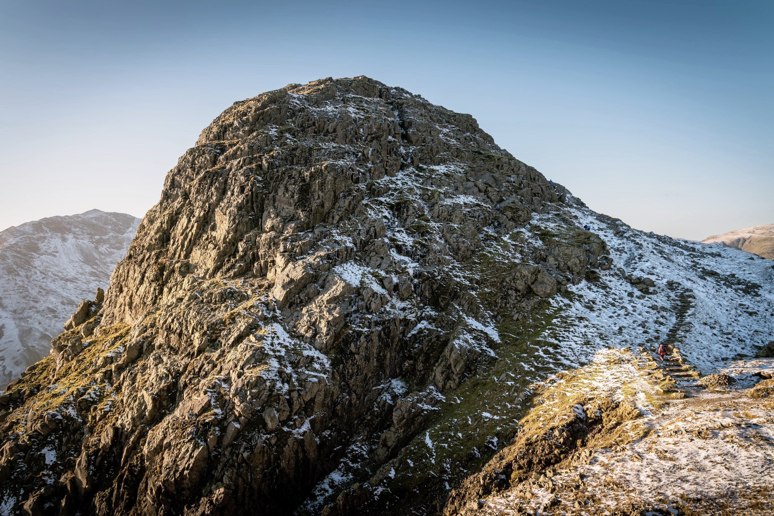
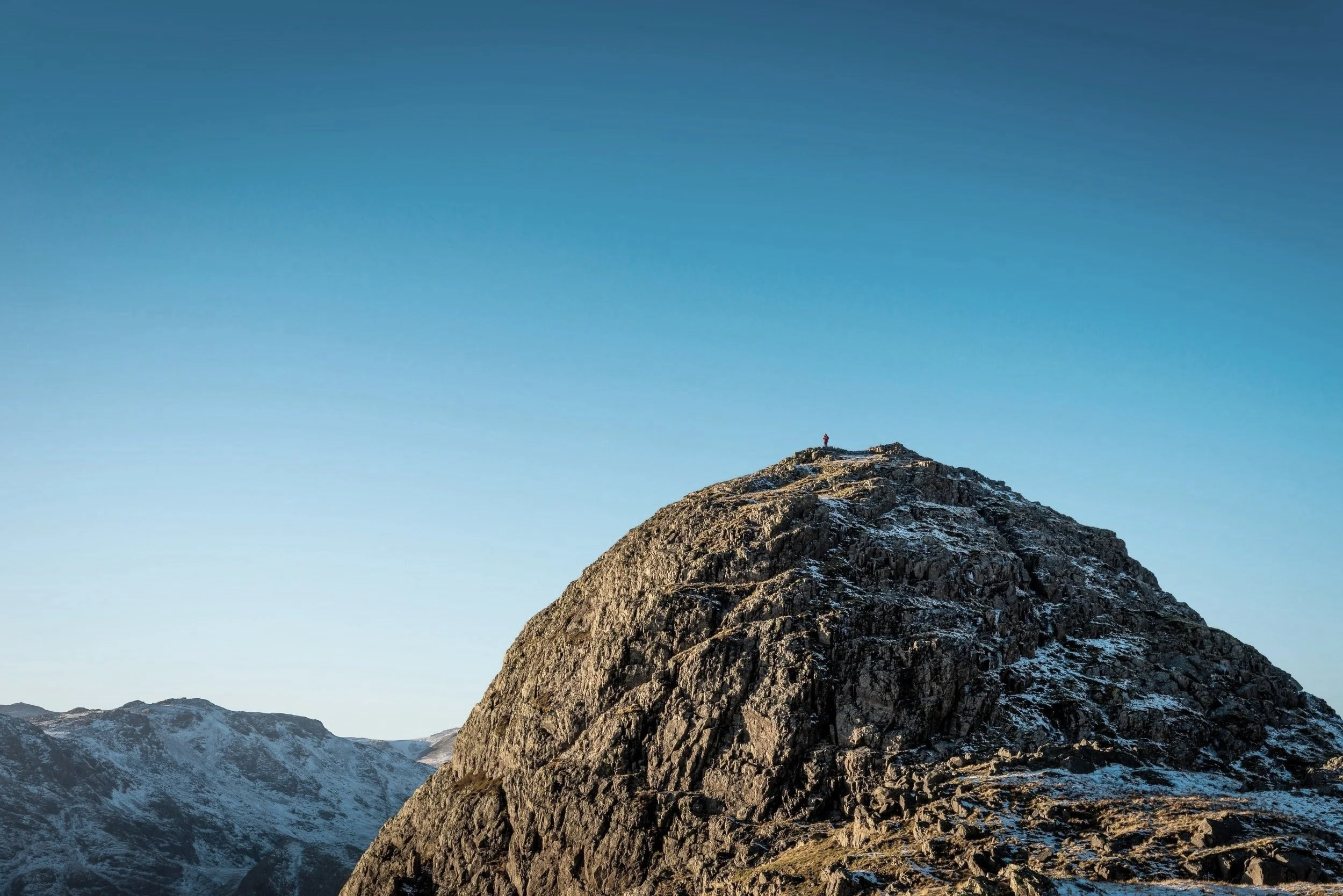
Perhaps the most recognisable of the Langdale Pikes. At 709m (2,323ft) Pike o’Stickle is both the highest of these and by far the most prominent - Loft Crag, Harrison Stickle, and Pavey Ark make up the other Langdale Pikes. When looked upon from most angles Pike o’ Stickle gives the impression of a tall, craggy, dome-shaped fell which towers above the valley floor below. No wonder the local farmers refer to it as ‘the sugar lump’.
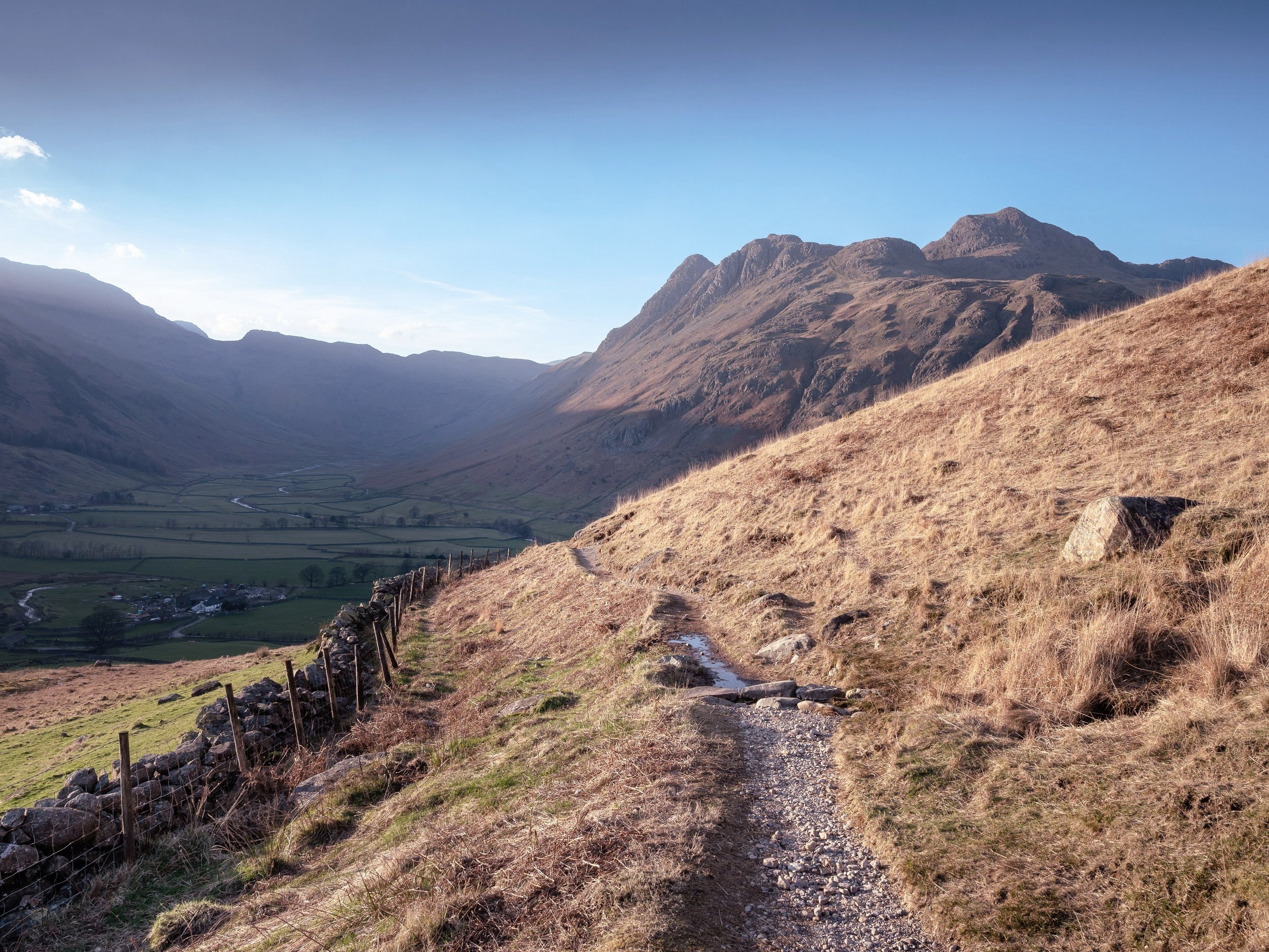
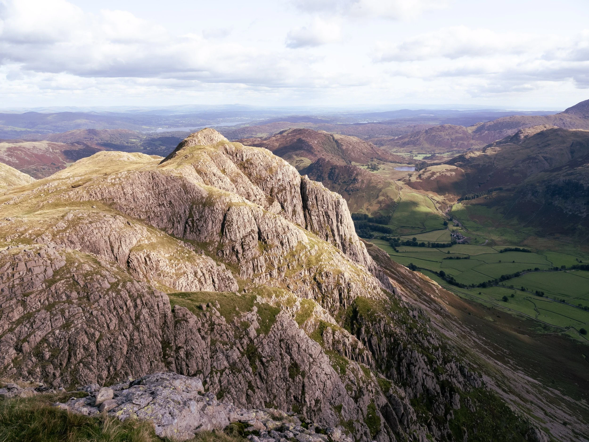
The summit is easily gained from the Langdale Valley but most walkers ‘bag’ the fell as part of a hike that takes in all four pikes in one fell swoop. As a day out this is pretty gentle stuff and should be manageable by most. The National Trust car park of Stickle Barn makes for a great base from which to tackle any and all of the Langdale Pikes. The views from the summit are blissful and from here you get a great sense of Bowfell, Great End, the Coniston range, Great Gable, and the Scafells.
It lacks the rock climbing routes that litter Loft Crag and Pavey Ark, but it has a rich industrial history with Neolithic tool makers making axes, arrow heads, and spear heads from the excellent rock found on the the southern side of the fell. Once on the summit, however, be sure to eastwards towards Gimmer Crag (the southern buttress of Loft Crag) and you will often see rock climbers making their way up the fine lines and cracks here.


This website and its content is copyright of greyodwyer.com © Grey O’Dwyer, 2023. All rights reserved.